‘Banner Cloud‘ on the Fil de Cassons, Grisons Photo: Caumasee
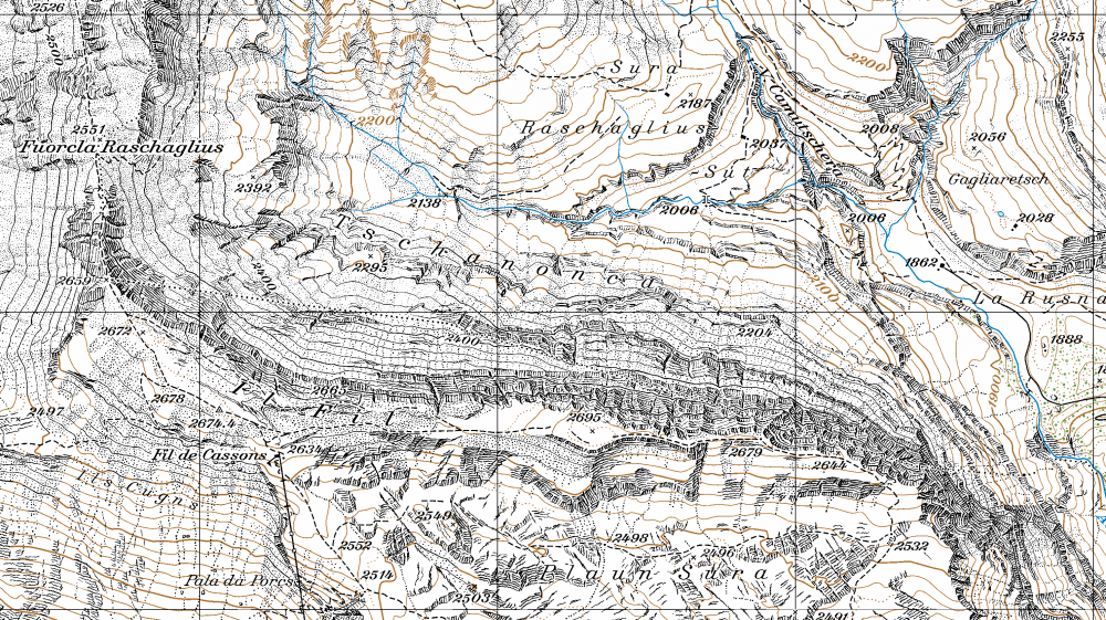
Fil de Cassons near Flims
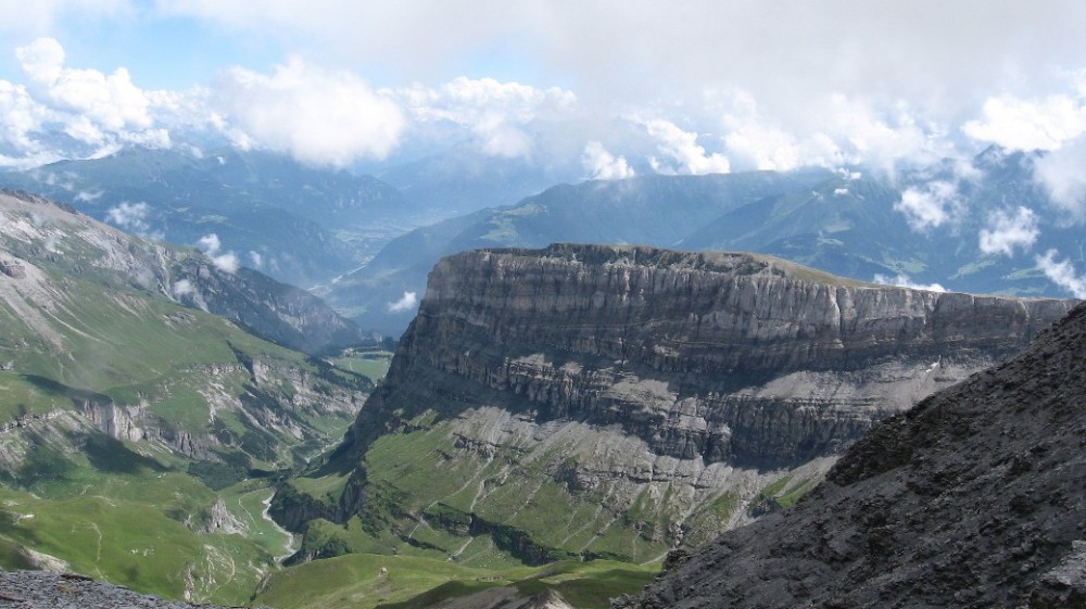
View from North
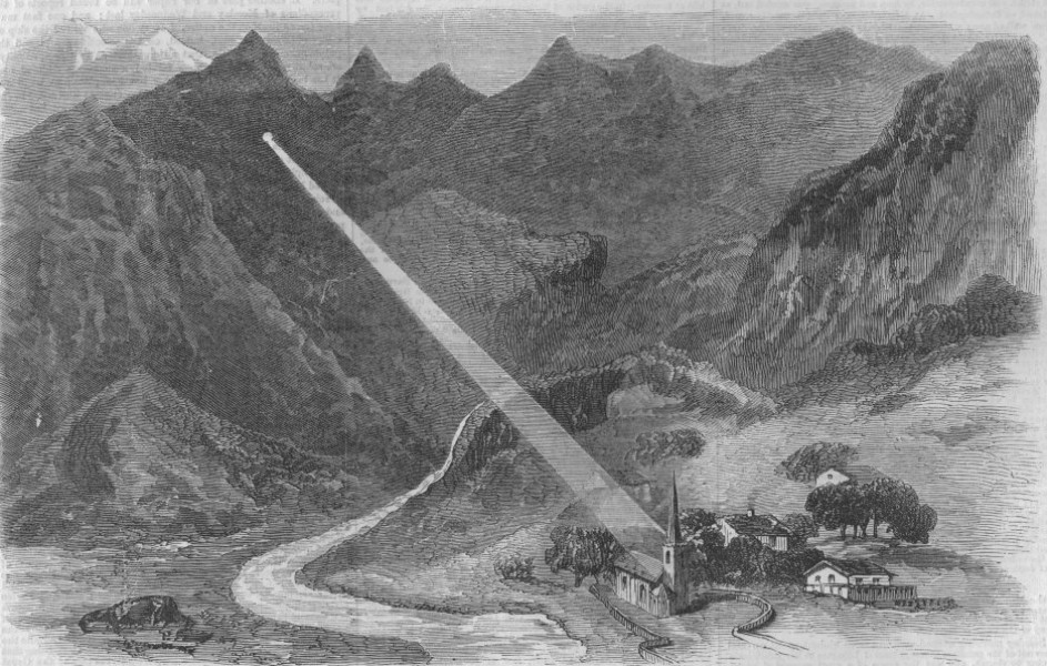
A sun-ray from the Martinsloch hitting the church of Elm
16.7.2014 – Issue 14 - Air – Steinemann Ramias – Essays, Studio
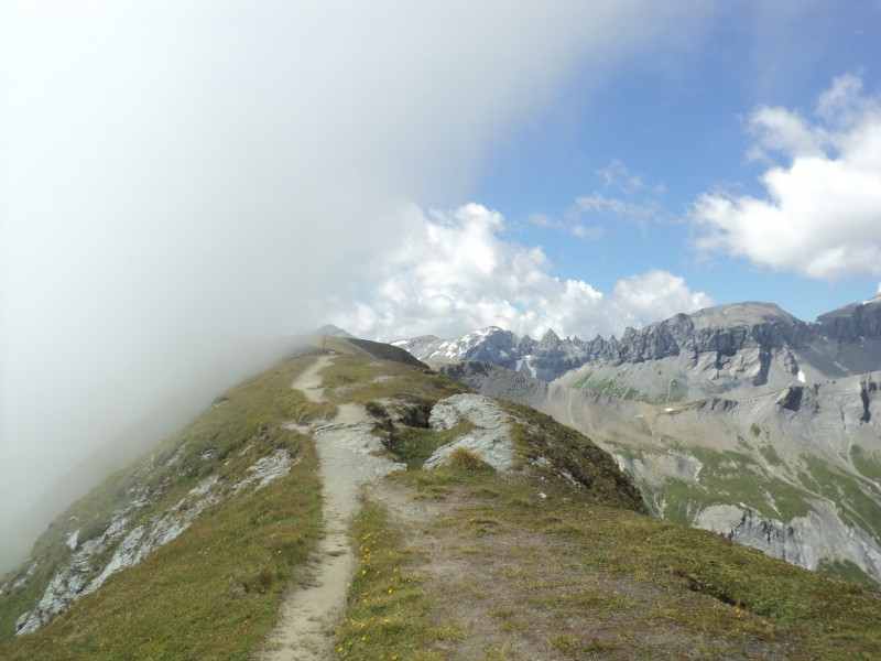
Fil de Cassons
by Ramias Steinemann
The Fil de Cassons is a mountain range 2700 metres above sea level in Grisons, Switzerland.
In the Romanic language, fil means ridge; i.e. a mountain range without an obvious peak. It forms a two and half kilometrelong northern end of the famous Flimserstein, a massive wall of rock that is a remnant of the biggest rockslide in Alpine history. The complex topography of the region causes the formation of local thermal flow systems that interact with prevailing westerly winds, transporting mist and mild sea air from the Atlantic into the area (cooling effect in summer, the opposite in winter), which can result in rapid changes in weather, both in time and from place to place. Particularly noticeable at the Fil de Cassons is the Föhn, a peculiar Alpine wind inducing mild, dry conditions on the lee side of the ridge. Blowing from the south, it is often characterised by high wind speeds in the north and intense rainfall in the south. To the north, the ridge breaks down over a high vertical cliff into the natural Valley of Bargis, framed on its other side by the Glarus Alps. These peaks manifest the geological formation and history of Alpine folding: nowhere in Switzerland is the overthrust fault that created the Alps more visible than here, where the stone’s surfaces evolved through the interplay of crustal uplift and erosion. The best-known feature of the jagged assembly of the Tschingelhörner is Martinsloch, a large rock window which prompted the people on the other side, in the village of Elm, to build their church in the place where the sun’s rays light up the ground twice a year.
Download article as PDF